Interstates & expressways
The US highway system is actually three overlapping networks: the Interstate Highway System (blue-and-red shields), the older US Highway System (black-and-white shields), and state routes (state-specific shields). Each has its own numbering logic — once you know the rules, the shield alone tells you where the road is going.
The three networks at a glance
Interstate
Blue shield, red top. Numbered 1–99 for main lines, three digits for auxiliary. Limited-access freeway standard.
US Route
White shield. Predates the Interstates. Often the "original" surface highway paralleling I-roads; many are still major routes.
State Route
Shield varies by state (California circle, New York oval, Texas star, etc.). State-maintained. May or may not be limited-access.
How Interstate numbering works
The Interstate system follows a strict numbering scheme, defined by AASHTO and maintained with FHWA oversight. Once you know it you can navigate by number alone:
- One- or two-digit main lines, odd numbers = north–south. I-5 is the west coast, I-95 is the east coast. Odd numbers increase west to east.
- One- or two-digit main lines, even numbers = east–west. I-10 is the southern transcontinental, I-90 is the northern transcontinental. Even numbers increase south to north.
- Three-digit Interstates are auxiliaries of a parent two-digit route. First digit even = loop or beltway around a city; first digit odd = spur into a city. Example: I-495 is a loop around DC; I-195 is a spur.
- Lettered suffixes (I-35W, I-35E) split a main line temporarily — used sparingly.
How US Route numbering works
The US Route system predates the Interstates (established 1926). Its numbering is the opposite of the Interstate grid:
- Odd numbers = north–south, but numbers increase east to west (opposite of Interstates). US-1 runs the East Coast; US-101 runs the West Coast.
- Even numbers = east–west, with numbers increasing north to south. US-2 is near the Canadian border; US-90 runs along the Gulf.
If you're doing scenic driving, a US-numbered highway is often the more interesting road — I-40 is fast but US-66 (where still existent) is the historic alignment.
"Expressway" vs "freeway" vs "parkway" vs "turnpike"
US usage is frustratingly inconsistent, but there are legal distinctions:
- Freeway — limited-access, no traffic signals, no at-grade intersections, no tolls. Most Interstates are freeways.
- Expressway — limited-access but may have some at-grade intersections or traffic signals; may be divided or undivided. State-law definitions vary.
- Turnpike / Toll Road — tolled expressway or freeway. Pennsylvania Turnpike (I-76 part), New Jersey Turnpike (I-95 part), Florida's Turnpike, Texas toll roads. See toll roads.
- Parkway — originally scenic, often passenger-cars-only (no trucks), often lower speed. Blue Ridge Parkway, Merritt Parkway, Taconic State Parkway.
Exit numbering
Almost all Interstates use mile-marker-based exit numbers: an exit at mile 127 is Exit 127. Exits on the same mile use letters (127A, 127B). A few older stretches — most famously parts of the New Jersey Turnpike — still use sequential exit numbers, but the FHWA has been converting these over the years.
Mile markers themselves increase in the direction of travel: west-to-east on even-numbered Interstates, south-to-north on odd-numbered Interstates. Milepost 0 is always on the south or west border of the state.
Rules that apply on Interstates
- No pedestrians, no bicycles, no scooters. Most states also ban farm equipment and non-highway-legal vehicles.
- Minimum speed limits often apply (40 mph is common). Driving much slower than surrounding traffic is itself a violation in many states.
- Keep right except to pass — the left lane is for passing or higher-speed travel. Enforcement varies by state; some states post "slower traffic keep right" signs and enforce actively.
- Move over for emergency vehicles stopped on the shoulder — all 50 states.[4]
- No U-turns. No turning through the median.
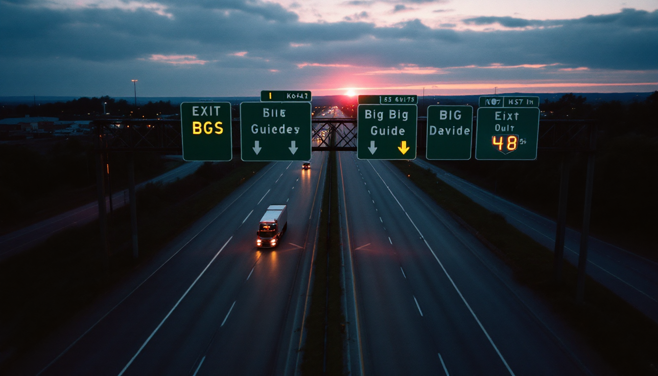
How to navigate by signs, not just GPS
If your phone GPS drops signal in the mountains or the tunnel, the signs themselves are enough to navigate. On any Interstate approach:
- Big green sign above the lanes: destinations + exit numbers. Most major exits get a 2-mile, 1-mile, and ½-mile advance warning.
- Exit-only lanes are marked with a yellow "EXIT ONLY" panel — if you're in that lane and don't want the exit, change lanes now.
- Blue "gas / food / lodging / camping" signs list the services at the next exit. Logos are the actual brand logos.
- The little I-shield on the sign tells you which Interstate you're about to join — the small arrow and compass point (N, S, E, W) tells you which direction.
Related
Sources
- [1]FHWA — Manual on Uniform Traffic Control Devices (MUTCD) — FHWA · accessed 2026-04-23
- [2]FHWA MUTCD — Chapter 2B (Regulatory Signs) — FHWA · accessed 2026-04-23
- [3]FHWA — Standard Highway Signs (SHS) 2024 — FHWA · accessed 2026-04-23
- [4]US Department of Transportation — USDOT · accessed 2026-04-23